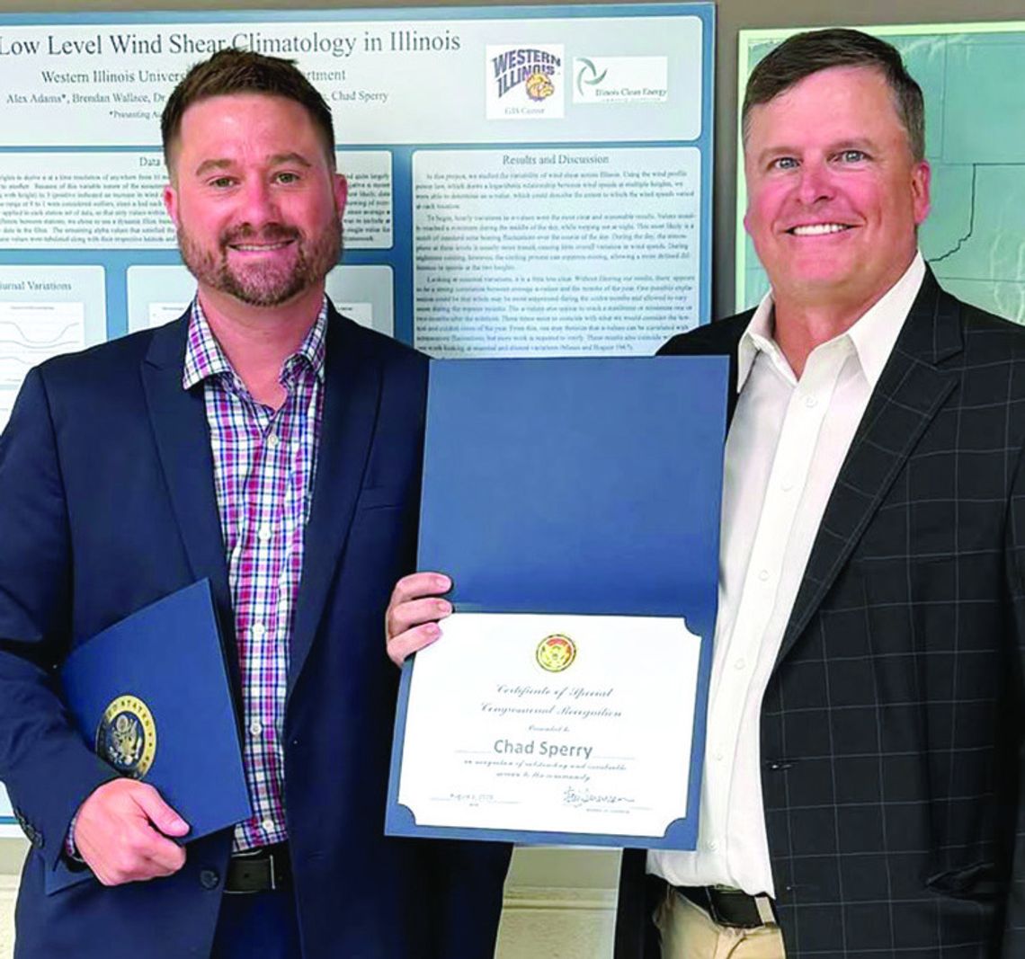
On Tuesday, a representative from Rep. Eric Sorensen's office honored the staff at Western Illinois University's GIS Center with a Congressional Certificate recognizing the center's role in 9-1-1 mapping throughout Illinois.
When someone makes an emergency call for help, seconds matter, including the caller's precise location so first responders can be dispatched quickly to render aid. Thanks to the WIU GIS (Geographic Information Systems) Center, 9-1-1 dispatch centers throughout central Illinois and other regions in the state can provide the best possible route for police, fire and other rescue personnel to get to the scene of an accident, burglary, medical emergency or other crisis quickly and efficiently.
'Congressman Sorensen likes to acknowledge groups throughout the 17th District who are good neighbors,' Derek Jones, Sorensen's district director said prior to presenting the certificates to GIS staff. 'Providing life-saving emergency services to those in distress is a prime example of being a good neighbor. When Chris Helle (Fulton County's Emergency Coordinator) first communicated the success of the WIU GIS Center, they had mapped 150 schools. To hear that the center has now mapped over 400 is a testament to the quality of work being done. As the husband of a school teacher and the father of an elementary school student, the work of the WIU GIS Center hits especially close to home.'
The GIS Center, which was established in the mid-1990s, has grown exponentially over the years, adding vital support to its menu of services, noted Director Chad Sperry, who joined the center in 2004. Thanks to the efforts of former McDonough County 911 Director Noel Oliver, the center entered the world of 911 in the early 2000s to map communities to ensure exact locations when calls come in.
'It's an honor to have the WIU GIS Center recognized by Congressman Sorensen,' said Sperry added. 'The work we are doing is extremely important as we help reduce response times in critical situations.'
Helle, who nominated the WIU team for its work for the Congressional Certificate, has also been at the forefront of mapping school districts, working in partnership with Sperry and his team, to map out schools so first responders have the lay of the land when addressing an emergency.
'There was a medical emergency at a small school, and because that school had been mapped out, first responders were able to locate the room quickly and enter through a side door that saved them critical minutes in response time,' Sperry told The Community News Brief in an earlier story about the center's work.
The GIS Center also works closely with Alicia Atkinson, Illinois' statewide 911 administrator, to lead the state's 911 modernization effort to streamline processes for a Next Generation 911 (NG9-1-1) system. The project's main focus has been on creating an up-to-date state map comprised of numerous GIS layers. As Sperry noted, GIS maps and data provide essential details about roads, addresses and jurisdictional boundaries for accurate emergency call routing and location validation. The WIU GIS Center has taken a larger role for data quality checks, with WIU students, under Sperry's direction, taking part in paid internships to review and improve data from across the state.
Currently, the WIU GIS Center works with 25 of Illinois' 102 counties on their 911 mapping programs, with Warren County being one of the counties to first work with Sperry and his staff. This work is overseen in large part by Senior GIS Manager Renée Büker and GIS Manager Megan Landes. While the majority of center contracts are with west-central and central Illinois communities, they do work with a few larger suburban counties in northern and southern Illinois. Counties pay for upkeep of the system, with grants helping to cover some of the costs, along with surcharges from landlines and cell phones, he pointed out.
'Think of Google Maps, but with better information,' Sperry explained. 'When a call comes into a 911 dispatch center, the caller's location is transmitted immediately to the center because of GIS mapping. The work we do allows us to edit the maps to add new addresses, new roads and more to keep the 911 information updated in real time. The dispatcher can also determine which fire protection district or police agency should respond based on the location of the call, and this is because of 911 mapping. GIS is a living – a very fluid and dynamic – process.'
In addition to GIS being used to improve response time, its 'sister discipline,' GPS (Global Positioning System) works in concert with GIS so a dispatcher can send the squad car or an ambulance that's the closest to the scene.
To learn more about the WIU GIS Center, visit wiu.edu/ cas/gis_center.


